
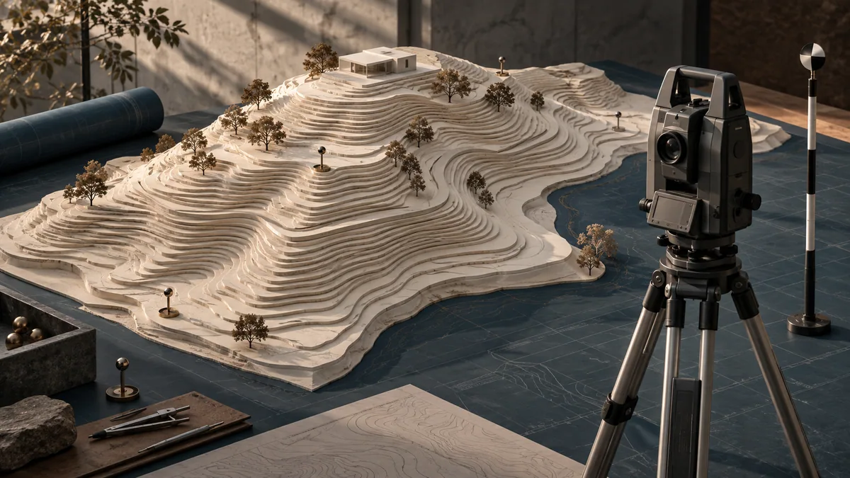
Land surveying
A documented site base to support design and coordination.
Discuss this serviceUnderstanding the project.
We coordinate the documentation of boundaries, levels and existing site features. This information provides a basis for project design and coordination.
The work,
in detail.
Deliverables and responsibilities are agreed according to project needs and stage.
- 01
Planimetric and elevation survey
- 02
Levels and control references
- 03
Existing buildings and site features
- 04
Digital base for the design team
Useful questions.
What should I prepare for an enquiry?
Site location and access conditions. Purpose of the survey. Available property documentation. If information is missing, let us know so we can define the next step.
How are cost and timing defined?
Scope, available information, deliverables and coordination needs are reviewed. The specific proposal sets out fees and schedule assumptions before engagement.
Can I enquire about this service on its own?
Yes. Tell us the project stage and the service you need. The enquiry identifies dependencies and separates responsibilities without assuming you will engage every service.